60+MPH Winds, Quarter-Sized Hail Possible for Billings Today (Tuesday)
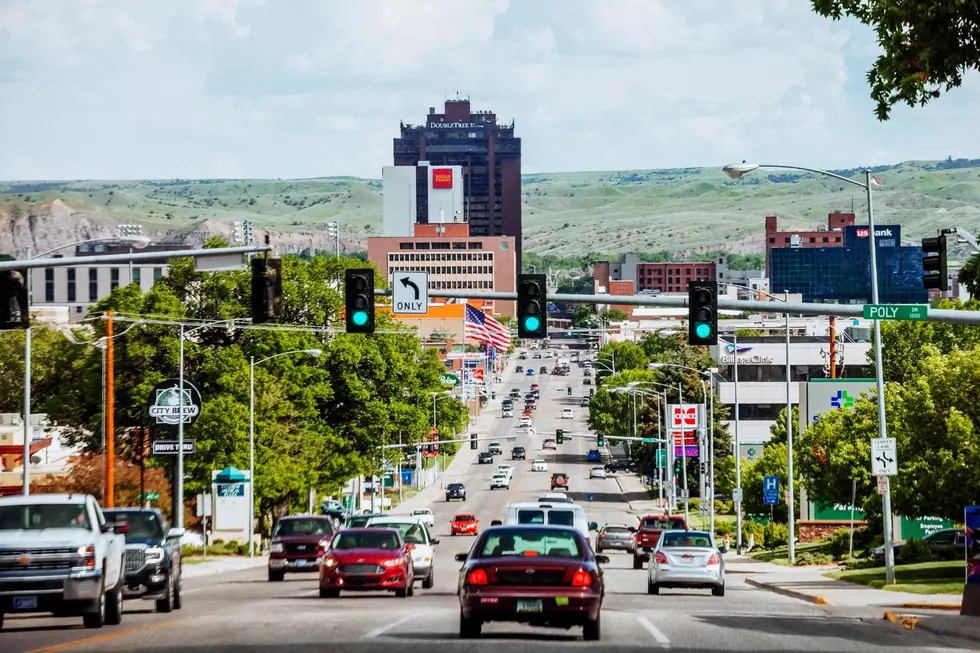
Temperatures are expected to be in the mid-90s on Tuesday (6/28) around Yellowstone County, and that could be fuel to fire up some severe thunderstorms.
According to the National Weather Service, storms are expected to arrive in Billings between 2 pm and 10 pm with the potential for damaging winds and hail.
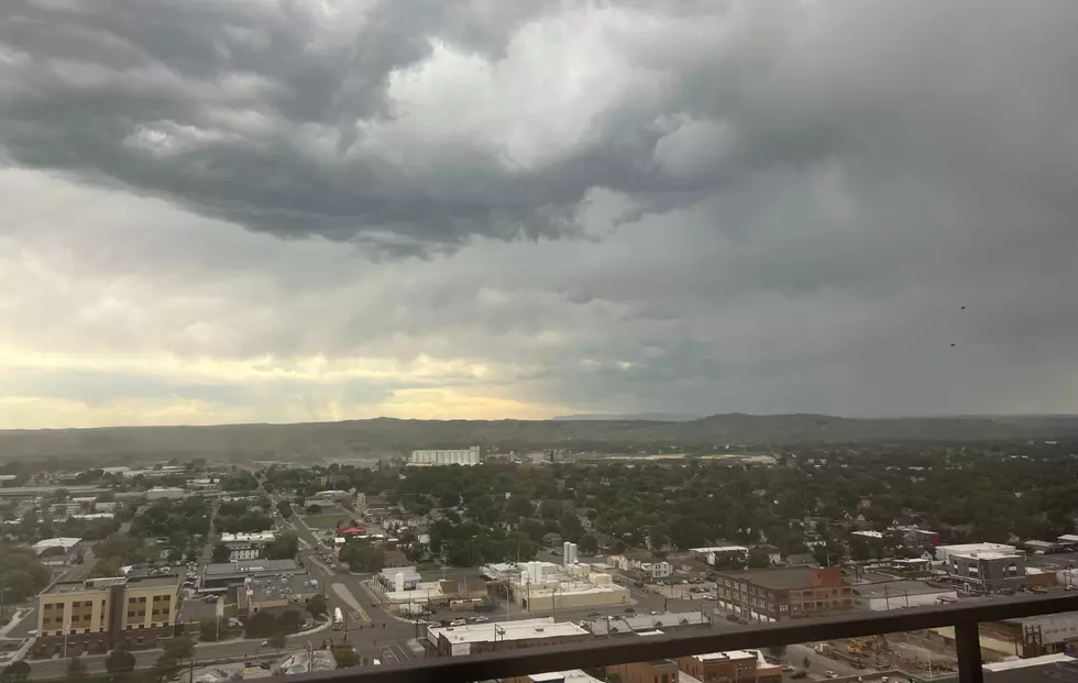
The NWS shows "Isolated Severe Thunderstorms Possible" for Billings with up to quarter-sized hail possible and wind gusts over 60 mph.

The current forecast from the National Weather Service shows a 30 percent chance of showers and storms for Billings on Tuesday night (6/28), and another 20 percent chance of storms after noon on Wednesday (6/29) with a high in the mid-80's.
Temperatures will be in the mid to upper 80's through the 4th of July weekend, and a chance of showers and Thunderstorms on Sunday (4/3) and Monday, July 4th, according to the current forecast from the NWS.
To see the current weather radar from the Weather Channel, CLICK HERE.
LOOK: The most expensive weather and climate disasters in recent decades
KEEP READING: Get answers to 51 of the most frequently asked weather questions...
More From Mix 97.1