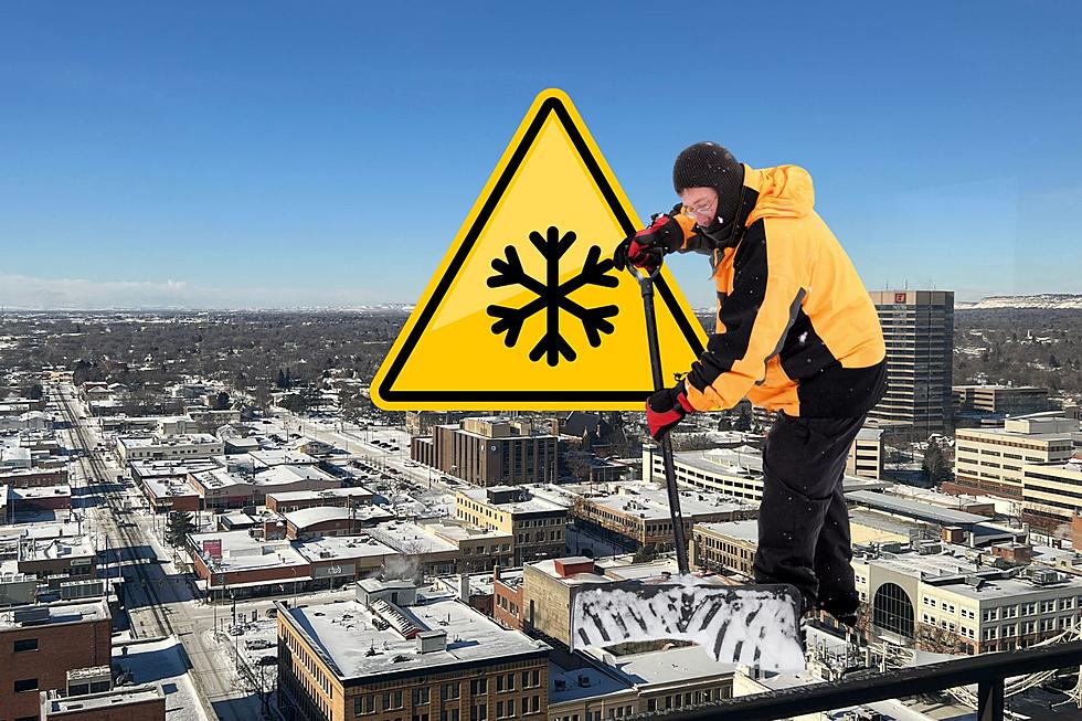

Less Than Inch For Billings, Western MT Will Get Feet Of Snow
On the first weekend of Fall, Western Montana is preparing for what the National Weather Service is calling a "Historic Winter Storm." A Winter Storm Watch will be in effect from 6pm Friday, September 27 through 6pm on Sunday, September 29 for most of the state's western half.
This early season storm is expected to dump up to 3 feet of snow in areas near Cut Bank, and record cold temperatures could have wind chills near 15 below zero.
The N.W.S. warns that heavy snow could cause widespread power outages, and travel may be impossible beginning Friday evening (9/27).
The weekend forecast for Billings is expected to be cold and wet. But the snowfall accumulation is expected to be light, with less than an inch currently predicted through Sunday. Strong winds will affect travel beginning Thursday (9/26) afternoon, with gusts up to 45 mph possible in Billings.
Muddy rural roads will make travel difficult. The extreme cold and wet weather could also impact livestock. Those with gardens may want to prepare for a potential frost or freeze early next week. -N.W.S.
Current forecast for Billings has a chance for more snow accumulation on Monday (9/30) and Tuesday (10/1).
To get the latest Montana Road Conditions, CLICK HERE.
More From Mix 97.1