
Montana Fire Danger Up this Week with Gusty Wind, Low Humidity
UPDATE - 8/29 9:56 pm. KTVQ is reporting that the Pryor Creek Fire south of Billings has grown to 10,000 acres.
A 100-acre fire popped up Tuesday afternoon south of Billings, bringing trails of smoke to the sky over the Magic City. Dubbed the Pryor Creek Incident, the fire was discovered at 12:57 p.m. and its containment level is unknown at this time, according to the Montana Department of Natural Resources wildfire dashboard.
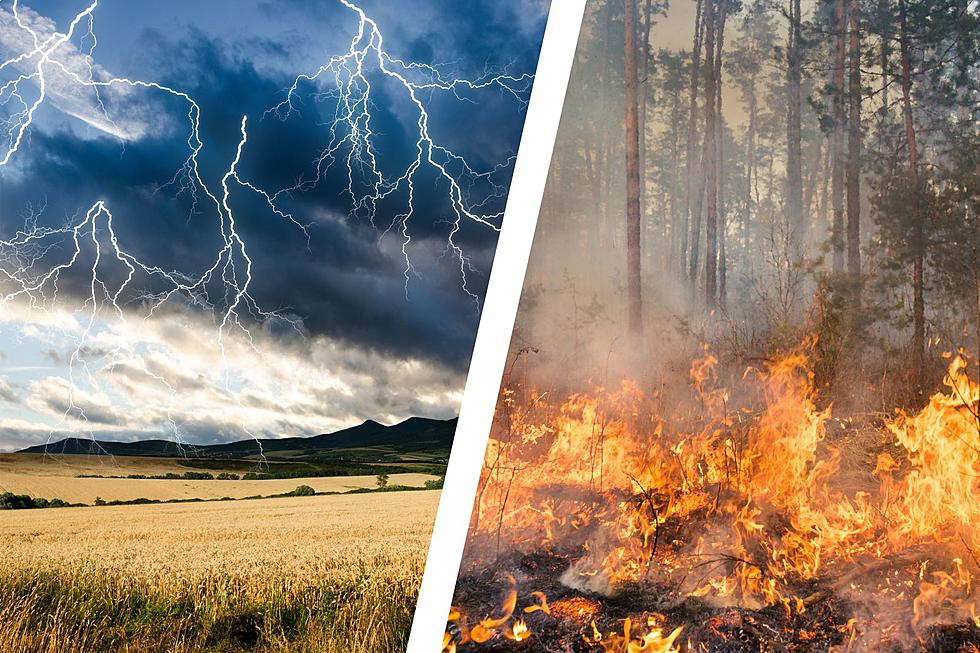
We've been fairly lucky with wildfire activity in southcentral Montana this year, but that could change this evening into Wednesday, as low humidity and high winds are pushing into the state with a cold front from the Pacific. The National Weather Service Billings shared a Tweet (an X?) on Tuesday afternoon, urging Montanas to exercise caution with sparks and open flames.
Winds will increase overnight into Wednesday.
Typically, humidity levels increase overnight but as winds increase this evening into Wednesday, most of Montana will continue to dry out overnight, causing what meteorologists call "poor humidity recovery." The NWS is anticipating wind gusts of 35 - 45 mph across much of Montana and the I-90 corridor. A severe thunderstorm watch Tuesday night for portions of southwestern Montana adds to the risk of lightning-caused wildfires.
The sun won't set after 8 pm again until April 15th, 2024
On Monday, the NWS shared a fun fact about our hours of daylight getting rapidly shorter. Monday night was the last time the sun set after 8 p.m until next year. And while back-to-school and Labor Day Weekend signify the unofficial end of summer, we still have plenty of heat coming our way (and possibly more rain) in September, according to their long-range models.
With fire danger high this week, remain vigilant when working or recreating outdoors. Make sure cigarette butts are completely extinguished and be spark-aware.
Rock Star Yearbook Photos
More From Mix 97.1