1 1/2 Feet of Snow Possible in Red Lodge Over Easter Weekend
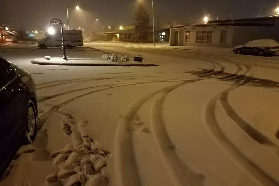
A dramatic weather change for Montana is coming this weekend, with heavy snowfall possible through Easter Sunday. Some areas could see more than a foot of snow accumulation.
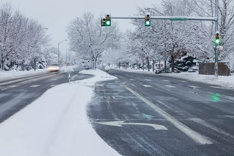
Rain is expected to begin Friday (4/10) evening and mix with snow overnight. There's a 100 percent chance of snow in Yellowstone County on Saturday, with a high temperature in the mid 30's, according to the N.W.S. forecast. Bitter cold temperatures in the teens will make conditions icy on Saturday night into Sunday.
The National Weather Service has issued a Winter Storm Watch that will be in effect from 6am Saturday (4/11) through 12 noon Sunday (4/12).
A WINTER STORM WATCH IS ISSUED WHEN SEVERE WINTER WEATHER IS POSSIBLE BUT NOT IMMINENT. AT THIS TIME THERE IS A POTENTIAL FOR SIGNIFICANT SNOW. FUTURE DRIVING AND WALKING CONDITIONS MAY BECOME HAZARDOUS SO IT IS IMPORTANT TO MONITOR THE LATEST FORECASTS. -National Weather Service
Current predictions have Billings getting 4-6 inches of snow, and up to 18 inches could fall in Red Lodge by Sunday. N.W.S. also warns that windy conditions, along with the cold and snow, will make conditions dangerous for young livestock.
For MONTANA road conditions, CLICK HERE.
For WYOMING road conditions, CLICK HERE.

11 Things We Can't Wait To Do in Red Lodge
More From Mix 97.1