Temps In Teens, 8+ Inches of Snow Possible For Billings
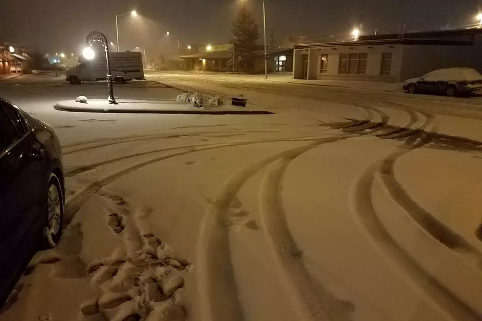
Billings will start the work week with highs in the 70's. But don't get used to it. Temperatures start to plummet on Tuesday night, and more than a half a foot of snow is possible by Thursday morning (10/10).
The National Weather Service issued a Winter Storm Watch that will be in effect for Yellowstone County from 12am MDT Wednesday (10/9) through Thursday (10/10) at 12noon MDT. The Winter Storm Watch also includes Musselshell, Southern Big Horn, Eastern Carbon, and Northern Big Horn County.
The N.W.S. forecast shows Billings with a High chance to receive 4 or more inches of snow, and a Moderate chance to get more than 8 inches of accumulation by Thursday.
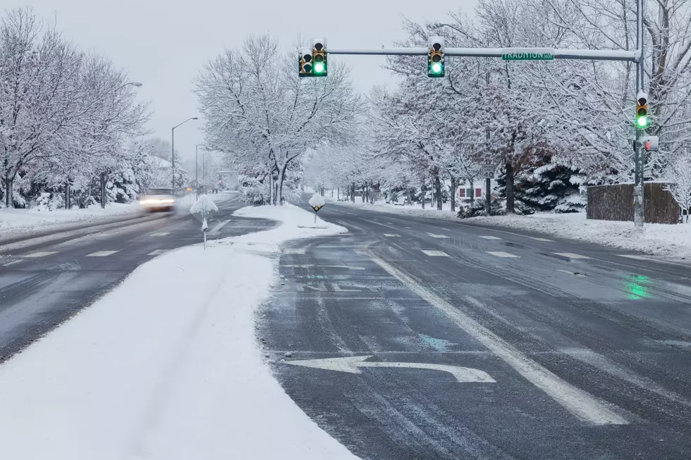
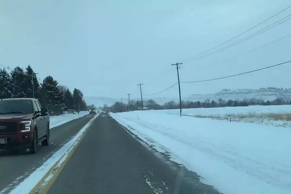
With icy roads, heavy snow, and wind gusts up to 40mph possible, the Wednesday commute could be challenging. Traveling through Livingston on I-90 will be hazardous through Tuesday (10/8), with strong crosswinds of more then 50 mph expected. N.W.S. suggests motorists with high profile vehicles to take an alternate route, or delay travel.
To see current Montana Road Conditions, CLICK HERE.
More From Mix 97.1