
After Weekend Snow, Highs Could Stay Above Freezing Until Spring
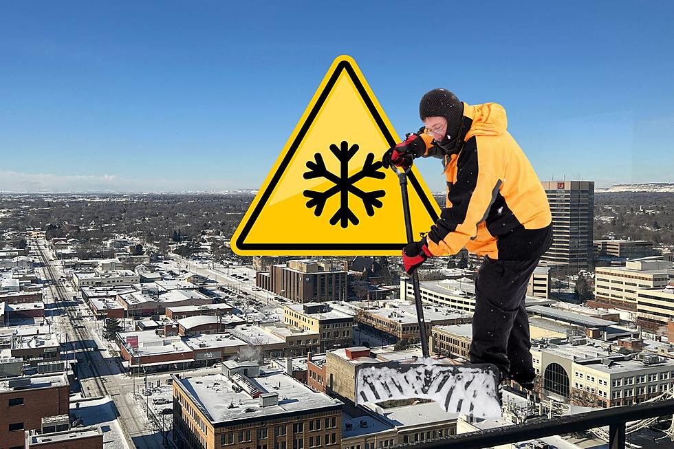
With space heaters and snow blowers working overtime, it's been weeks since we've gotten above 32 degrees. While we will likely see significant snow this weekend, Billings is expected to have high temperatures above the freezing mark almost every day until late March.
With less than two weeks from the official beginning of spring March 20, it looks like we're finally going to thaw out. But, another weather system is expected to bring snow showers starting Friday (3/8) afternoon. National Weather Service is predicting 2 to 3 inches of snow could hit Billings and up to 6 inches of accumulation possible in Red Lodge through Saturday (3/9).
This round of snow is likely to be wetter than last week thanks to warmer temperatures. High for Friday and Saturday will be 33 degrees according to Weather Channel.Then we're in the mid to upper-30's through Wednesday (3/13). A forecast high of 31 on Thursday (3/14) is the only temperature below the freezing mark on the Weather Channel 10-day forecast through March 21.
Hazardous Weather Outlook for Friday through Saturday from the National Weather Service:.
Heaviest snow is expected east of Billings. While exact amounts are still uncertain, southeast Montana could see in excess of 6 inches of snow, along with gusty northwest winds. This will be wetter and not as cold as recent systems. The snowfall will likely cause travel difficulties, and pose a threat to young livestock.
More From Mix 97.1