
Extreme Heat for Billings, Then a Huge Drop in Temps Coming
One of the hottest days of the year with a threat of fire weather will be followed by a big temperature drop for Billings over the next 48 hours.
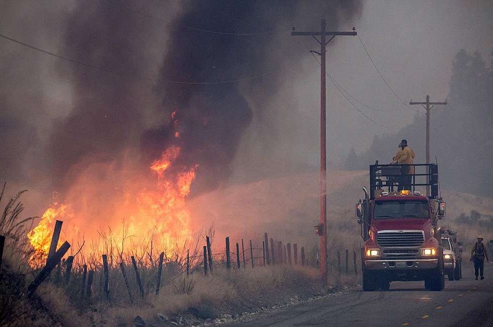
A Heat Advisory and a Red Flag Warning are in effect for Yellowstone County and all of Southern Montana on Wednesday (9/7) when a high temperature near 105 is possible, along with low humidity, and thunderstorms in the afternoon.
The National Weather Service says strong, shifting winds due to the cold front will increase fire weather danger on Wednesday, along with "dry lightning" and 60 mph gusts possible in communities west and north of Billings.

With extreme heat expected on Thursday, here are some additional precautions from the National Weather Service:
Drink plenty of fluids, stay in an air-conditioned room, stay out of the sun, and check up on relatives and neighbors. Take extra precautions when outside. Wear lightweight and loose fitting clothing. Try to limit strenuous activities to early morning or evening. Take action when you see symptoms of heat exhaustion and heat stroke.
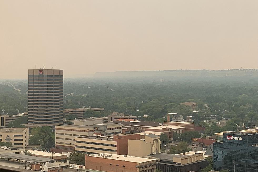
Air quality may be poor over the next couple of days, so those who are at risk should monitor conditions and avoid outdoor activities. CLICK HERE to get the latest air quality readings from the Lockwood, Montana data station.
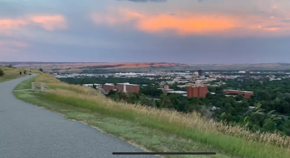
Once we survive the high temperatures and fire weather on Wednesday, you can get the hoodies and flannel shirts back out, at least for a few days.
There's at least a 30 percent chance of showers and thunderstorms from Wednesday (9/7) afternoon through Friday night (9/9) as the cold front moves through southern Montana.
High temperatures will go from over 100 degrees on Wednesday, into the 70s on Thursday, and on Friday the high is only expected to be in the upper 50s.
But by Sunday, highs are expected to be close to 80, and on Monday should rise back into the mid-80s.

LOOK: The most extreme temperatures in the history of every state
Gallery Credit: Anuradha Varanasi
LOOK INSIDE: Kid Rock Is Selling His Grand $2.2 Million Detroit Mansion
More From Mix 97.1